T2K -- Boundary Waters Fur Trade (La Verendrye) Route
June 20, 2000

| Location | Distance To, Miles |
Portage Length, Rods |
Total Miles Including Portages |
Total Rods Portaged |
Comments |
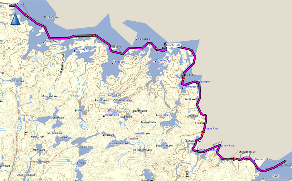
| Crooked Lake | Windy and thundering at 6:00; rain stopped and wind subsided allowing us to leave camp at 10:00. Paddled in intermittent and sometimes heavy rain. | ||||
| Thursday Bay, Crooked Lake | 8.3 | 129.4 | 385 | Ate lunch here. | |
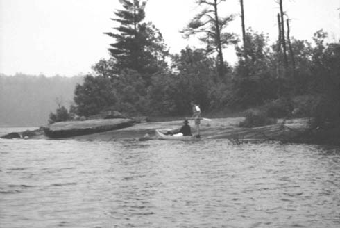
| Crooked Lake to Lower Basswood Falls portage | 9.5 | 138.9 | 385 | Passed Table Rock (eastern most point on Wednesday Bay) and Picture Rock. | |
| Lower Basswood Falls Portage | 0.1 | 30 | 139.0 | 415 | |
| Basswood River | 0.8 | 139.8 | 415 | ||
| Wheelbarrow Portage | 0.2 | 50 | 139.9 | 465 | |
| Basswood River | 1.2 | 141.1 | 465 | ||
| Portage | 0.1 | 30 | 141.2 | 495 | |
| Basswood River | 0.3 | 141.5 | 495 | ||
| Basswood Falls Portage | 1.1 | 340 | 142.6 | 835 | |
| Basswood Lake | 2.0 | 144.6 | 835 | On the way to an island campsite in Basswood Lake across from King Point, the wind started blowing from the south causing large swells and whitecaps. Strength of wind continued to increase after arriving at camp at 8:00. Small turtles were coming on shore to lay eggs. | |
| Day's Total | 23.5 | 450 | |||
| Maps: Fisher: F-17, F-10 | |||||
|

Table Rock
Details for
June 12,
June 13,
June 14,
June 15,
June 16,
June 17,
June 18,
June 19, June 20,
June 21,
June 22,
June 23,
June 24,
June 25,
June 26,
June 27,
June 28 or
June 29
Intro, History, Equipment, Personal Equipment, Menus
Exit T2K
Last updated: November 28, 2013