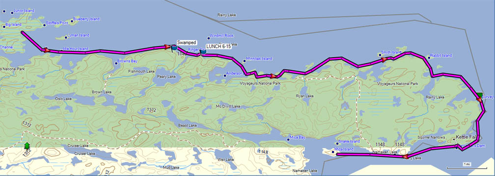
T2K -- Boundary Waters Fur Trade (La Verendrye) Route
June 15, 2000
| Location | Distance To, Miles |
Portage Length, Rods |
Total Miles Including Portages |
Total Rods Portaged |
Comments |
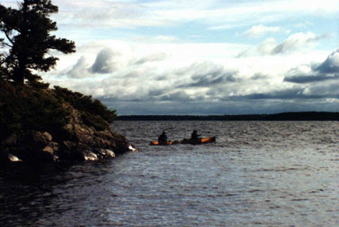
| Rainy Lake | 4.0 | 36.1 | 0 | Broke camp at 7:45; wind from the west. Canoe capsized in heavy cross-swells west of Finger Bay. Swam canoe with contents tied-in to shore and carried to bay. Changed clothes and headed east. | |
| Rainy Lake, East of Finger Bay | 1.1 | 37.2 | 0 | Crossed Finger Bay; water too rough. Stopped for about 3 hours; ate lunch. Wind died down and resumed paddling. | |
| Rainy Lake | 9.2 | 46.4 | 0 | To Kettle Falls | |
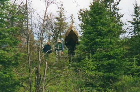
| Kettle Falls Portage | 0.1 | 35 | 46.5 | 35 | Portaged Kettle Falls. Used phone at Kettle Falls to check for emergency messages with point-of-contact for trip. |
| Mica Island, Namakan Lake | 3.4 | 49.9 | 35 | Paddled to Mica Island. Arrived at camp about 5:30. | |
| Day's Total | 17.8 | 35 | |||
| Maps: McKinzie: R2, Fisher: F-22 | |||||
|
 |
 |
Details for
June 12,
June 13,
June 14, June 15,
June 16,
June 17,
June 18,
June 19,
June 20,
June 21,
June 22,
June 23,
June 24,
June 25,
June 26,
June 27,
June 28 or
June 29
Intro, History, Equipment, Personal Equipment, Menus
Exit T2K
Last updated: November 28, 2013.