T2K -- Boundary Waters Fur Trade (La Verendrye) Route
June 19, 2000
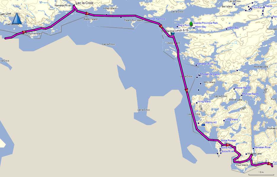
| Location | Distance To, Miles |
Portage Length, Rods |
Total Miles Including Portages |
Total Rods Portaged |
Comments |
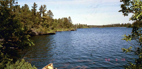
| Lac La Croix | Dry and calm; left camp at 8:15. Arrived at Canadian Ranger Station at ten to pickup Quetico Permits and Canadian fishing licenses. Breeze from the east started mid-morning, but no problem paddling into it. | ||||
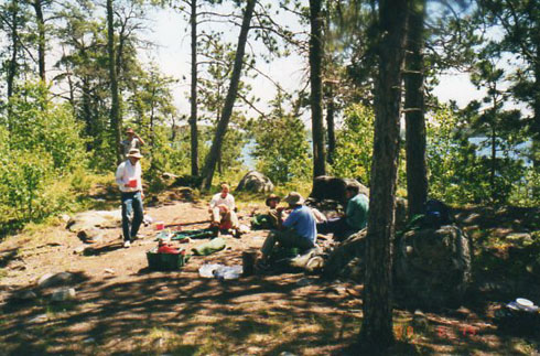
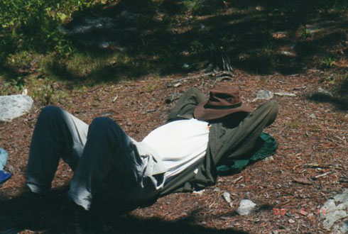
| Eastbend Island | 11.5 | 105.1 | 165 | Ate lunch on this historic island where the Kaministikwia and Boundary Waters Fur Trade Routes met. Voyageurs used to cut 'lobpoles' in this area. Lobpoles are pine trees that had all the branches except the very top cut off so that they could be distinguished by the voyageurs as 'their' marker. | |
| To Bottle Portage | 9.5 | 114.6 | 165 | Water started getting rough near the end of this stretch. | |
| Bottle Portage | 0.3 | 80 | 114.9 | 245 | |
| Iron Lake to Rebecca Falls | 2.9 | 117.8 | 245 | ||
| Iron Lake to Curtain Falls | 2.4 | 120.2 | 245 | All campsites on Iron Lake were full. | |
| Curtain Falls Portage | 0.4 | 140 | 120.6 | 385 | |
| Crooked Lake | 0.5 | 121.1 | 385 | Strong east wind after portage. High waves forces us to shore and to camp at a undeveloped site. Arrived at camp at 8:15 | |
| Day's Total | 27.5 | 220 | |||
| Maps: Fisher: F-23, F-16, F-17 | |||||
|
 |
 |
 |
 |
 |
 |
 |
 |
Details for
June 12,
June 13,
June 14,
June 15,
June 16,
June 17,
June 18, June 19,
June 20,
June 21,
June 22,
June 23,
June 24,
June 25,
June 26,
June 27,
June 28 or
June 29
Intro, History, Equipment, Personal Equipment, Menus
Exit T2K