PAGE INDEX
Route
Preparation
Schedule
References
The Crew
Rendevouz
DESTINATIONS
Missinipi
Stanley Mission
Potter Rapids
Grand Rapids
Frog Portage
Grassy Narrows
Pelican Narrows
Dog Rapids
Maligne Lake Settlement
Snake Rapids
Amisk Lake
North Channel
Denare Beach
Guest Book
Return to main |
THE PLAN
Camp at Dog Rapids (27 km)
One portages: 10 m / 175 yd or 340 m / 370 yd
|
| MAPS |
Pelican Narrows to Dog Rapids
Downloaded: 7-A, 7-B, 7-C
1:250,000 Series: 63M Pelican Narrows
1:50,000 Series: 63M/2 Pelican Narrows |
NOTES
from
Marchildon
&
Robinson
unless otherwise noted |
Channel to Mirond Lake. The channel is divided by a long island. The Highway 135 bridge crosses both the north and south branches of the channel. Both are canoeable, but the south (river-right) is best (wider and deeper); there is some swift current under the bridge.
Mirond Lake
- History
- Peter Fiedler called it Stone/Stony Lake
- Other fur traders called it Heron Lake or Mirond which means half-round in French
- Sir John Richardson said it meant half-moon.
- On June 23, 1792, Fiedler reported "got to far South in Lake Merion and was forced to return against a very heavy gale of wind by which we lost 3 hours."
- Long, deep lake with open north exposure. With north wind can be very dangerous. Stay in camp if whitecaps.
- Lobstick marker present in 1986 about 6 km (3 3/4 mi) southeast from end of channel.
Morond to Corneille. Two possible routes
- Voyageur route
- Care must be taken to find southeast bay to Corneille Rapids.
- Corneille Rapids has two parts; the upper part is Class 2 and the lower is Class 3. The Class 2 can be run to the left of a large rock in middle of channel; then eddy out on river-right to plan how to run Class 3. Portage is recommended.
- Corneille Portage, 160 m / 175 yd. Located 140 m (155 yd.) above rapids on river left. Has pullover.
- Lower Corneille Rapids. Located about 250 m (275 yd) from end of Corneille Portage. Small Class 1 rapids in a narrow channel with medium size standing waves. Can be run right of center to avoid rocks on both sides of channel.
- Lower Corneille Portage, 90 m / 99 yds. About 10 m (30 ft) before narrows. Portage is in "fair" condition.
- Mirond-Corneille South Portage, 340 m / 370 yd.
- Located at southeast corner of bay on the south side of the peninsula. (63L 463957)
- Follows old winter freight road and is in excellent condition
Corneille Lake. Need to stay close to peninsula on north shore of lake to be able to go northeast into the bay leading to Dog Rapids.
|
THE TRIP |
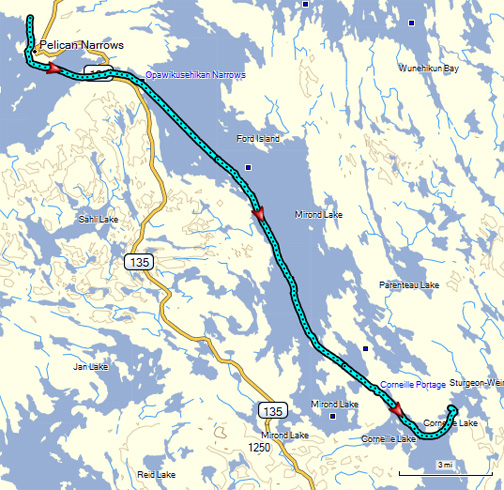 |
With about 10 miles of open water with a NW exposure to traverse today, we were on the at 7:45. As we left Pelican Narrows, we could see the Northern Store, formerly the Hudson's Bay Store and also passed the Anglican Church which is located near the site of the original fort at Pelican Narrows.
Fortunately, the canoe gods were with us and we only encountered a mild wind. The lunch stop had an additional reward for us...blueberries and cranberries. Sufficient quantities were picked to not only satisfy our immediate needs, but also enough for a treat with tomorrow's breakfast.
We took the voyageurs route to Corneille Rapids and arrived at camp by 3:30. Total distance covered: 20.7 miles. |
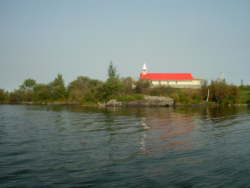
Anglican Church at Pelican Narrows |
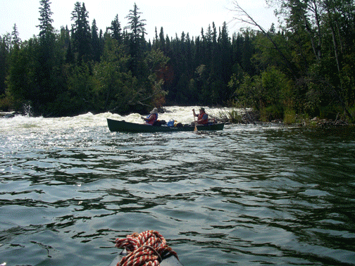
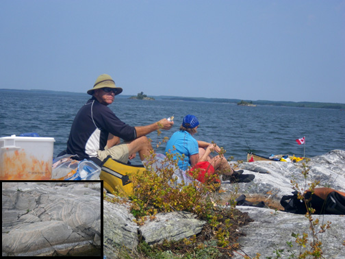
Paddling-Rapids-Portaging |
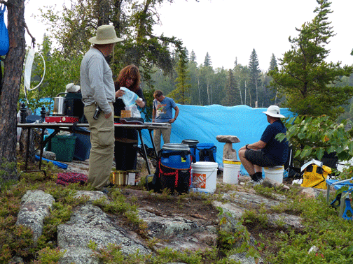
Lunch time near channel to Corneille Rapids |
Campsite on Corneille Lake about a mile west of Dog Rapids |
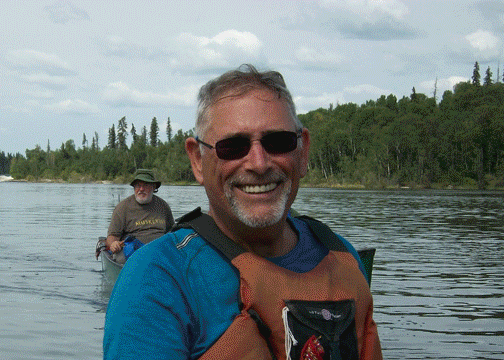
THE VOYAGEURS |
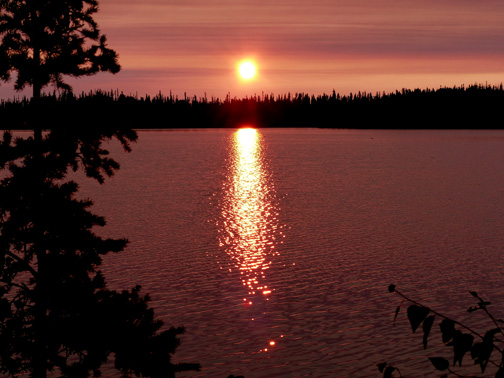
Sunset on Croneille Lake |
|